Where is Duval County, Texas?
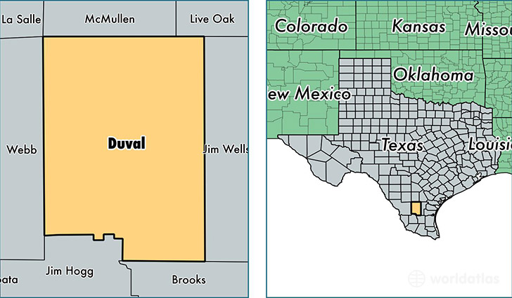
Duval County is a county equivalent area found in Texas, USA. The county government of Duval is found in the county seat of San Diego.
With a total 4,650.56 sq. km of land and water area, Duval County, Texas is the 370th largest county equivalent area in the United States. Home to 11,533 people, Duval County has a total 5499 households earning 34131 on average per year.
Duval County, Texas - Quick Facts
| FIPS Code | 48131 |
| Area Codes | 361 |
| Time Zone | CST |
| Major Cities | San Diego (population: 6,633), Freer (population: 3,143), Benavides (population: 1,750), Realitos (population: 550), Concepcion (population: 502) |
| Land Area | 4,453 sq miles |
| Water Area | 1,793 sq miles |
| Household Income | $34,131 |
| Housing Units | 5,499 |
| Median Home Value | $52,700 |
| High School Grads | 66% of population |
| Holders of Bachelors Degrees | 7% of population |
| Retail Spending | $4,084 per capita |
| Food & Accomodation Sales | $3,745 per capita |
This page was last updated on June 30, 2016.