Where is Caldwell County, Texas?
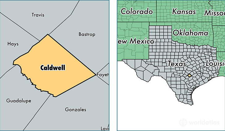
Caldwell County is a county equivalent area found in Texas, USA. The county government of Caldwell is found in the county seat of Lockhart.
With a total 1,417.12 sq. km of land and water area, Caldwell County, Texas is the 2015th largest county equivalent area in the United States. Home to 39,810 people, Caldwell County has a total 13735 households earning 44152 on average per year.
Caldwell County, Texas - Quick Facts
| FIPS Code | 48055 |
| Area Codes | 512,830 |
| Time Zone | CST |
| Major Cities | Lockhart (population: 17,380), Luling (population: 7,832), Dale (population: 7,192), Martindale (population: 2,818), Maxwell (population: 2,313), Harwood (population: 922), Prairie Lea (population: 340), Fentress (population: 301) |
| Land Area | 15,371 sq miles |
| Water Area | 545 sq miles |
| Household Income | $44,152 |
| Housing Units | 13,735 |
| Median Home Value | $104,000 |
| High School Grads | 79% of population |
| Holders of Bachelors Degrees | 16% of population |
| Retail Spending | $8,143 per capita |
| Food & Accomodation Sales | $28,157 per capita |
This page was last updated on June 30, 2016.