Where is Fayette County, Texas?
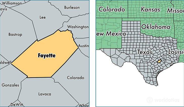
Fayette County is a county equivalent area found in Texas, USA. The county government of Fayette is found in the county seat of La Grange.
With a total 2,485.89 sq. km of land and water area, Fayette County, Texas is the 821st largest county equivalent area in the United States. Home to 24,833 people, Fayette County has a total 13800 households earning 48015 on average per year.
Fayette County, Texas - Quick Facts
| FIPS Code | 48149 |
| Area Codes | 979,361,512 |
| Time Zone | CST |
| Major Cities | La Grange (population: 10,554), Schulenburg (population: 5,413), Flatonia (population: 2,979), Fayetteville (population: 2,106), Round Top (population: 1,077), West Point (population: 914), Carmine (population: 762), Muldoon (population: 519), Ellinger (population: 472), Warda (population: 140) |
| Land Area | 9,588 sq miles |
| Water Area | 950 sq miles |
| Household Income | $48,015 |
| Housing Units | 13,800 |
| Median Home Value | $130,300 |
| High School Grads | 80% of population |
| Holders of Bachelors Degrees | 17% of population |
| Retail Spending | $11,611 per capita |
| Food & Accomodation Sales | $31,977 per capita |
This page was last updated on June 30, 2016.