Where is Chester County, South Carolina?
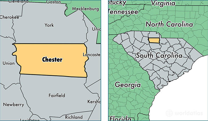
Chester County is a county equivalent area found in South Carolina, USA. The county government of Chester is found in the county seat of Chester.
With a total 1,518.15 sq. km of land and water area, Chester County, South Carolina is the 1796th largest county equivalent area in the United States. Home to 32,337 people, Chester County has a total 14528 households earning 33103 on average per year.
Chester County, South Carolina - Quick Facts
| FIPS Code | 45023 |
| Area Codes | 803 |
| Time Zone | EST |
| Major Cities | Chester (population: 19,492), Great Falls (population: 4,252), Fort Lawn (population: 2,874), Edgemoor (population: 2,293), Richburg (population: 2,230), Blackstock (population: 1,852), Lando (population: 42) |
| Land Area | 12,485 sq miles |
| Water Area | 581 sq miles |
| Household Income | $33,103 |
| Housing Units | 14,528 |
| Median Home Value | $82,500 |
| High School Grads | 78% of population |
| Holders of Bachelors Degrees | 12% of population |
| Retail Spending | $6,460 per capita |
| Food & Accomodation Sales | $25,201 per capita |
This page was last updated on June 30, 2016.