Where is Charleston County, South Carolina?
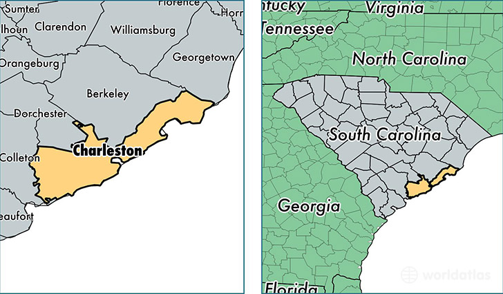
Charleston County is a county equivalent area found in South Carolina, USA. The county government of Charleston is found in the county seat of Charleston.
With a total 3,517.19 sq. km of land and water area, Charleston County, South Carolina is the 499th largest county equivalent area in the United States. Home to 381,015 people, Charleston County has a total 174729 households earning 50792 on average per year.
Charleston County, South Carolina offers the following attractions to visitors: USS Clamagore (SS-343), USS Laffey (DD-724), USS Yorktown (CV-10), USCGC Ingham (WHEC-35), Charles Pinckney NHS
Charleston County, South Carolina - Quick Facts
| FIPS Code | 45019 |
| Area Codes | 843 |
| Time Zone | EST |
| Major Cities | Charleston (population: 174,163), Mount Pleasant (population: 75,463), North Charleston (population: 52,001), Johns Island (population: 21,352), Hollywood (population: 8,079), Ravenel (population: 4,412), Isle of Palms (population: 4,384), Awendaw (population: 2,853), Wadmalaw Island (population: 2,841), McClellanville (population: 2,828) |
| Land Area | 147,111 sq miles |
| Water Area | 916 sq miles |
| Household Income | $50,792 |
| Housing Units | 174,729 |
| Median Home Value | $236,100 |
| High School Grads | 88% of population |
| Holders of Bachelors Degrees | 39% of population |
| Retail Spending | $18,348 per capita |
| Food & Accomodation Sales | $1,382,702 per capita |
| Universities and Colleges | College of Charleston, Medical University of South Carolina, Charleston Southern University |
This page was last updated on June 30, 2016.