Where is Coos County, Oregon?
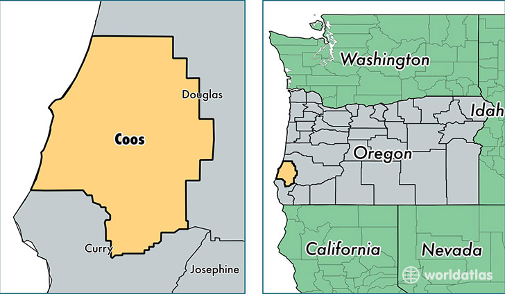
Coos County is a county equivalent area found in Oregon, USA. The county government of Coos is found in the county seat of Coquille.
With a total 4,678.46 sq. km of land and water area, Coos County, Oregon is the 367th largest county equivalent area in the United States. Home to 62,475 people, Coos County has a total 30274 households earning 37940 on average per year.
Coos County, Oregon - Quick Facts
| FIPS Code | 41011 |
| Area Codes | 541 |
| Time Zone | PST |
| Major Cities | Coos Bay (population: 27,251), North Bend (population: 13,982), Bandon (population: 6,896), Coquille (population: 6,754), Myrtle Point (population: 4,694), Lakeside (population: 1,943), Powers (population: 809), Broadbent (population: 270) |
| Land Area | 24,122 sq miles |
| Water Area | 1,596 sq miles |
| Household Income | $37,940 |
| Housing Units | 30,274 |
| Median Home Value | $177,000 |
| High School Grads | 88% of population |
| Holders of Bachelors Degrees | 18% of population |
| Retail Spending | $11,339 per capita |
| Food & Accomodation Sales | $83,538 per capita |
This page was last updated on June 30, 2016.