Where is Payne County, Oklahoma?
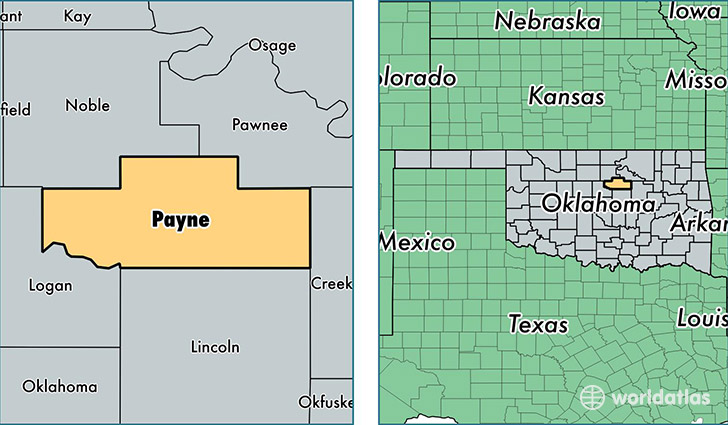
Payne County is a county equivalent area found in Oklahoma, USA. The county government of Payne is found in the county seat of Stillwater.
With a total 1,805.17 sq. km of land and water area, Payne County, Oklahoma is the 1446th largest county equivalent area in the United States. Home to 80,264 people, Payne County has a total 34380 households earning 36812 on average per year.
Payne County, Oklahoma - Quick Facts
| FIPS Code | 40119 |
| Area Codes | 918,580,405 |
| Time Zone | CST |
| Major Cities | Stillwater (population: 56,084), Cushing (population: 11,884), Perkins (population: 5,546), Yale (population: 2,621), Glencoe (population: 2,245), Ripley (population: 1,138) |
| Land Area | 30,990 sq miles |
| Water Area | 685 sq miles |
| Household Income | $36,812 |
| Housing Units | 34,380 |
| Median Home Value | $130,800 |
| High School Grads | 90% of population |
| Holders of Bachelors Degrees | 36% of population |
| Retail Spending | $10,449 per capita |
| Food & Accomodation Sales | $117,802 per capita |
| Universities and Colleges | Cosmetology Schools Inc |
This page was last updated on June 30, 2016.