Sebastian County, AR, USA
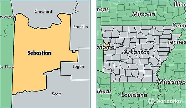
Sebastian County is a county equivalent area found in Arkansas, USA. The county government of Sebastian is found in the county seat of Fort Smith.
With a total 1,417.25 sq. km of land and water area, Sebastian County, Arkansas is the 2013th largest county equivalent area in the United States. Home to 126,776 people, Sebastian County has a total 55596 households earning 40471 on average per year.
Sebastian County, Arkansas offers the following attraction to visitors: Fort Smith NHS
Sebastian County, Arkansas - Quick Facts
| FIPS Code | 5131 |
| Area Codes | 479 |
| Time Zone | CST |
| Major Cities | Fort Smith (population: 91,256), Greenwood (population: 14,707), Lavaca (population: 5,316), Barling (population: 4,793), Hackett (population: 3,905), Mansfield (population: 2,917), Huntington (population: 2,546), Hartford (population: 1,408), Midland (population: 317) |
| Land Area | 48,948 sq miles |
| Water Area | 532 sq miles |
| Household Income | $40,471 |
| Housing Units | 55,596 |
| Median Home Value | $114,500 |
| High School Grads | 82% of population |
| Holders of Bachelors Degrees | 19% of population |
| Retail Spending | $14,995 per capita |
| Food & Accomodation Sales | $207,768 per capita |
| Universities and Colleges | University of Arkansas-Fort Smith |