Where is Toledo, OH?
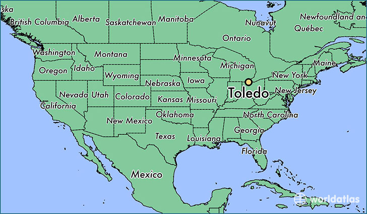
Toledo is a city found in Ohio, The United States Of America. It is located 41.66 latitude and -83.56 longitude and it is situated at elevation 189 meters above sea level.
Toledo has a population of 287,208 making it the 4th biggest city in Ohio. It operates on the EDT time zone, which means that it follows the same time zone as Columbus.
Quick facts
| Country | The United States Of America |
| State | Ohio |
| Population | 287,208 |
| Elevation | 189 m over sea level |
| Time Zone | EDT |
| Longitude | -83.555210 |
| Latitude | 41.663940 |
Toledo has a population of around 282275, of which 137016 (48%) are male and 145259 (51%) are female. The average age of the inhabitants of Toledo is 36.98, meaning that the average person is below the national median age of 37. For every male, there are approximately 1.06 females, meaning that the population is relatively evenly distributed between males and female(s).
Of Toledo's 282275 residents, around 268113 (95.00%) identify as having a single race. The majority of the population is white, which consists of 64.00% of the population. Of the remaining population, 75384 are black/African Americans (26.70%), 899 are native Americans (0.30%), 3940 are asians (1.40%), 75 are pacific islanders (0.00%), 7109 are other (2.50%).
The median income of households in Toledo is $33687.00, meaning that most of the households are above the poverty threshold for families of three. Of the total population, 14.70% of households reported an annual income of less than $10,000.
Toledo, OH Zipcodes
The city of Toledo has 16 zipcodes recognized by the United States Census Bureau: 43537, 43604, 43605, 43606, 43607, 43608, 43609, 43610, 43611, 43612, 43613, 43614, 43615, 43616, 43620, 43623.