Where is Lewis County, New York?
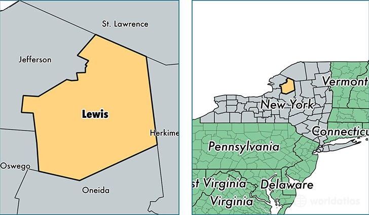
Lewis County is a county equivalent area found in New York, USA. The county government of Lewis is found in the county seat of Lowville.
With a total 3,340.92 sq. km of land and water area, Lewis County, New York is the 535th largest county equivalent area in the United States. Home to 27,220 people, Lewis County has a total 15194 households earning 46840 on average per year.
Lewis County, New York - Quick Facts
| FIPS Code | 36049 |
| Area Codes | 315 |
| Time Zone | EST |
| Major Cities | Lowville (population: 8,874), Copenhagen (population: 2,289), Castorland (population: 2,208), Croghan (population: 2,066), Port Leyden (population: 1,829), Glenfield (population: 1,666), Lyons Falls (population: 1,123), Constableville (population: 870), Turin (population: 769), West Leyden (population: 661) |
| Land Area | 10,510 sq miles |
| Water Area | 1,275 sq miles |
| Household Income | $46,840 |
| Housing Units | 15,194 |
| Median Home Value | $107,200 |
| High School Grads | 88% of population |
| Holders of Bachelors Degrees | 14% of population |
| Retail Spending | $6,677 per capita |
| Food & Accomodation Sales | $17,998 per capita |
This page was last updated on June 30, 2016.