Where is Hunterdon County, New Jersey?
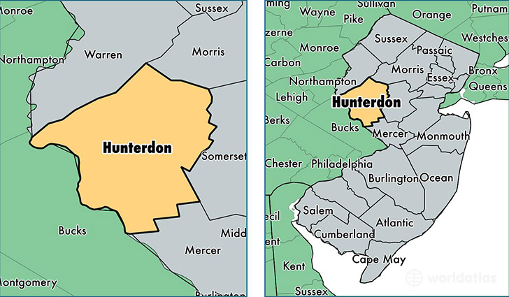
Hunterdon County is a county equivalent area found in New Jersey, USA. The county government of Hunterdon is found in the county seat of Flemington.
With a total 1,132.98 sq. km of land and water area, Hunterdon County, New Jersey is the 2397th largest county equivalent area in the United States. Home to 126,067 people, Hunterdon County has a total 49665 households earning 106143 on average per year.
Hunterdon County, New Jersey - Quick Facts
| FIPS Code | 34019 |
| Area Codes | 908,609 |
| Time Zone | EST |
| Major Cities | Flemington (population: 30,046), Whitehouse Station (population: 9,961), Lebanon (population: 8,706), Annandale (population: 8,464), Milford (population: 8,349), Lambertville (population: 7,997), Califon (population: 6,459), Clinton (population: 6,356), Glen Gardner (population: 5,778), Ringoes (population: 5,476) |
| Land Area | 48,675 sq miles |
| Water Area | 428 sq miles |
| Household Income | $106,143 |
| Housing Units | 49,665 |
| Median Home Value | $404,300 |
| High School Grads | 94% of population |
| Holders of Bachelors Degrees | 48% of population |
| Retail Spending | $16,865 per capita |
| Food & Accomodation Sales | $175,768 per capita |
This page was last updated on June 30, 2016.