Morris County, NJ, USA
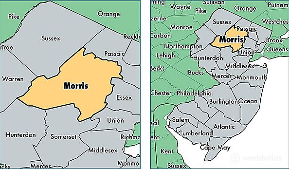
Morris County is a county equivalent area found in New Jersey, USA. The county government of Morris is found in the county seat of Morristown.
With a total 1,247.49 sq. km of land and water area, Morris County, New Jersey is the 2239th largest county equivalent area in the United States. Home to 499,727 people, Morris County has a total 190739 households earning 98633 on average per year.
Morris County, New Jersey offers the following attraction to visitors: Morristown NHP
Morris County, New Jersey - Quick Facts
| FIPS Code | 34027 |
| Area Codes | 973,908 |
| Time Zone | EST |
| Major Cities | Morristown (population: 44,255), Parsippany (population: 29,645), Dover (population: 25,681), Randolph (population: 25,585), Rockaway (population: 22,354), Morris Plains (population: 19,791), Chatham (population: 19,366), Denville (population: 17,928), Butler (population: 17,906), Madison (population: 17,478) |
| Land Area | 192,946 sq miles |
| Water Area | 460 sq miles |
| Household Income | $98,633 |
| Housing Units | 190,739 |
| Median Home Value | $432,400 |
| High School Grads | 94% of population |
| Holders of Bachelors Degrees | 50% of population |
| Retail Spending | $18,032 per capita |
| Food & Accomodation Sales | $1,129,752 per capita |
| Universities and Colleges | County College of Morris, Capri Institute of Hair Design |