Where is Cary, NC?
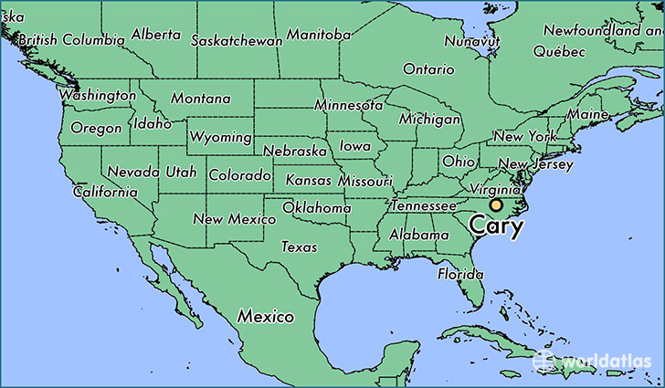
Cary is a city found in North Carolina, The United States Of America. It is located 35.79 latitude and -78.78 longitude and it is situated at elevation 152 meters above sea level.
Cary has a population of 135,234 making it the 8th biggest city in North Carolina. It operates on the EDT time zone, which means that it follows the same time zone as Charlotte.
Quick facts
| Country | The United States Of America |
| State | North Carolina |
| Population | 135,234 |
| Elevation | 152 m over sea level |
| Time Zone | EDT |
| Longitude | -78.781120 |
| Latitude | 35.791540 |
Cary has a population of around 151186, of which 74281 (49%) are male and 76905 (50%) are female. The average age of the inhabitants of Cary is 36.30, meaning that the average person is below the national median age of 37. For every male, there are approximately 1.04 females, meaning that the population is relatively evenly distributed between males and female(s).
Of Cary's 151186 residents, around 147215 (97.40%) identify as having a single race. The majority of the population is white, which consists of 71.40% of the population. Of the remaining population, 12408 are black/African Americans (8.20%), 761 are native Americans (0.50%), 22720 are asians (15.00%), 37 are pacific islanders (0.00%), 3412 are other (2.30%).
The median income of households in Cary is $91579.00, meaning that most of the households are above the poverty threshold for families of three. Of the total population, 2.50% of households reported an annual income of less than $10,000.
Cary, NC Zipcodes
The city of Cary has 12 zipcodes recognized by the United States Census Bureau: 27502, 27511, 27513, 27518, 27519, 27523, 27539, 27560, 27606, 27607, 27617, 27713.