Where is Greensboro, NC?
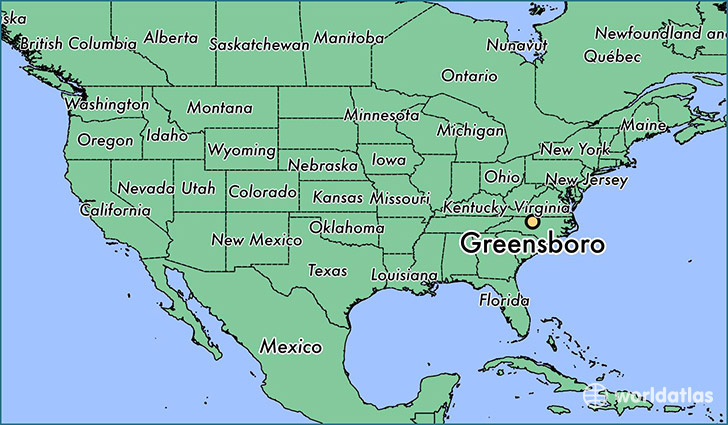
Greensboro is a city found in North Carolina, The United States Of America. It is located 36.07 latitude and -79.79 longitude and it is situated at elevation 260 meters above sea level.
Greensboro has a population of 269,666 making it the 4th biggest city in North Carolina. It operates on the EDT time zone, which means that it follows the same time zone as Charlotte.
Quick facts
| Country | The United States Of America |
| State | North Carolina |
| Population | 269,666 |
| Elevation | 260 m over sea level |
| Time Zone | EDT |
| Longitude | -79.791980 |
| Latitude | 36.072640 |
Greensboro has a population of around 279427, of which 130808 (46%) are male and 148619 (53%) are female. The average age of the inhabitants of Greensboro is 36.56, meaning that the average person is below the national median age of 37. For every male, there are approximately 1.14 females, meaning that the population is relatively evenly distributed between males and female(s).
Of Greensboro's 279427 residents, around 273222 (97.80%) identify as having a single race. Of the population, 135234 are white (48.40%), 117524 are black/African Americans (42.10%), 1037 are native Americans (0.40%), 11231 are asians (4.00%), 207 are pacific islanders (0.10%), 7989 are other (2.90%).
The median income of households in Greensboro is $41628.00, meaning that most of the households are above the poverty threshold for families of three. Of the total population, 9.10% of households reported an annual income of less than $10,000.
Greensboro, NC Zipcodes
The city of Greensboro has 15 zipcodes recognized by the United States Census Bureau: 27214, 27235, 27282, 27301, 27313, 27358, 27401, 27403, 27405, 27406, 27407, 27408, 27409, 27410, 27455.