Where is Phillips County, Montana?
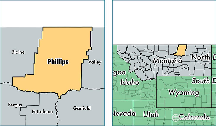
Phillips County is a county equivalent area found in Montana, USA. The county government of Phillips is found in the county seat of Malta.
With a total 13,498.82 sq. km of land and water area, Phillips County, Montana is the 77th largest county equivalent area in the United States. Home to 4,192 people, Phillips County has a total 2309 households earning 42632 on average per year.
Phillips County, Montana - Quick Facts
| FIPS Code | 30071 |
| Area Codes | 406 |
| Time Zone | MST |
| Major Cities | Malta (population: 2,947), Dodson (population: 662), Saco (population: 506), Whitewater (population: 169), Zortman (population: 125), Loring (population: 93) |
| Land Area | 1,619 sq miles |
| Water Area | 5,140 sq miles |
| Household Income | $42,632 |
| Housing Units | 2,309 |
| Median Home Value | $86,600 |
| High School Grads | 92% of population |
| Holders of Bachelors Degrees | 16% of population |
| Retail Spending | $8,612 per capita |
| Food & Accomodation Sales | $4,135 per capita |
This page was last updated on June 30, 2016.