Where is Cascade County, Montana?
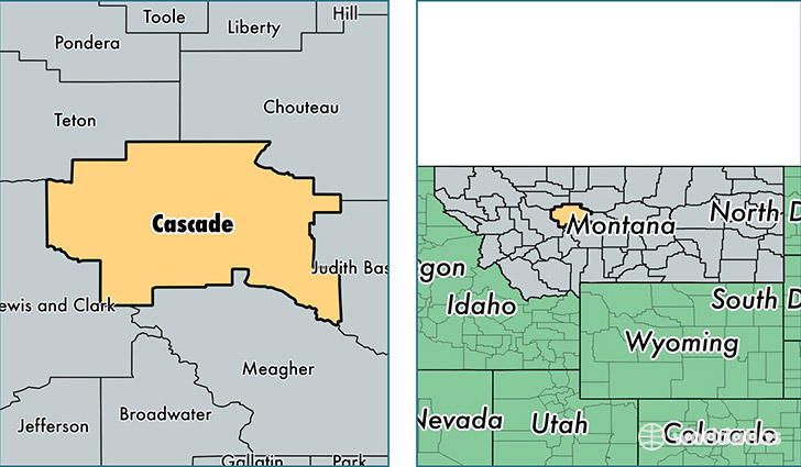
Cascade County is a county equivalent area found in Montana, USA. The county government of Cascade is found in the county seat of Great Falls.
With a total 7,022.67 sq. km of land and water area, Cascade County, Montana is the 205th largest county equivalent area in the United States. Home to 82,344 people, Cascade County has a total 37363 households earning 44963 on average per year.
Cascade County, Montana - Quick Facts
| FIPS Code | 30013 |
| Area Codes | 406 |
| Time Zone | MST |
| Major Cities | Great Falls (population: 72,430), Cascade (population: 1,842), Belt (population: 1,755), Vaughn (population: 1,245), Black Eagle (population: 908), Ulm (population: 708), Sand Coulee (population: 660), Fort Shaw (population: 614), Sun River (population: 532), Simms (population: 523) |
| Land Area | 31,793 sq miles |
| Water Area | 2,698 sq miles |
| Household Income | $44,963 |
| Housing Units | 37,363 |
| Median Home Value | $157,900 |
| High School Grads | 91% of population |
| Holders of Bachelors Degrees | 25% of population |
| Retail Spending | $15,924 per capita |
| Food & Accomodation Sales | $174,295 per capita |
| Universities and Colleges | Benefis Healthcare School of Radiologic Technology |
This page was last updated on June 30, 2016.