Where is Blue Springs, MO?
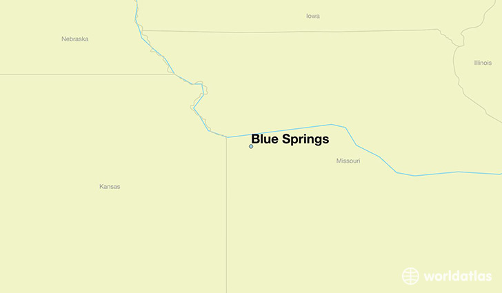
Blue Springs is a city found in Missouri, The United States Of America. It is located 39.02 latitude and -94.28 longitude and it is situated at elevation 300 meters above sea level.
Blue Springs has a population of 52,575 making it the 11th biggest city in Missouri. It operates on the CDT time zone, which means that it follows the same time zone as Kansas City.
Quick facts
| Country | The United States Of America |
| State | Missouri |
| Population | 52,575 |
| Elevation | 300 m over sea level |
| Time Zone | CDT |
| Longitude | -94.281610 |
| Latitude | 39.016950 |
Blue-springs has a population of around 53364, of which 25963 (48%) are male and 27401 (51%) are female. The average age of the inhabitants of Blue-springs is 35.49, meaning that the average person is below the national median age of 37. For every male, there are approximately 1.06 females, meaning that the population is relatively evenly distributed between males and female(s).
Of Blue-springs's 53364 residents, around 51661 (96.80%) identify as having a single race. The majority of the population is white, which consists of 86.30% of the population. Of the remaining population, 3746 are black/African Americans (7.00%), 395 are native Americans (0.70%), 876 are asians (1.60%), 24 are pacific islanders (0.00%), 593 are other (1.10%).
The median income of households in Blue-springs is $63753.00, meaning that most of the households are above the poverty threshold for families of three. Of the total population, 3.60% of households reported an annual income of less than $10,000.
Blue Springs, MO Zipcodes
The city of Blue Springs has 6 zipcodes recognized by the United States Census Bureau: 64014, 64015, 64029, 64057, 64064, 64086.