Where is Lewis County, Missouri?
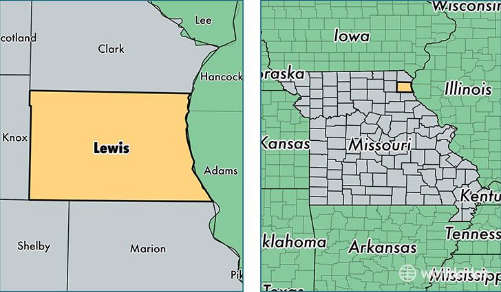
Lewis County is a county equivalent area found in Missouri, USA. The county government of Lewis is found in the county seat of Monticello.
With a total 1,322.95 sq. km of land and water area, Lewis County, Missouri is the 2135th largest county equivalent area in the United States. Home to 10,138 people, Lewis County has a total 4483 households earning 42071 on average per year.
Lewis County, Missouri - Quick Facts
| FIPS Code | 29111 |
| Area Codes | 573,660 |
| Time Zone | CST |
| Major Cities | Canton (population: 4,195), La Grange (population: 1,514), Ewing (population: 1,401), Lewistown (population: 1,162), La Belle (population: 1,128), Durham (population: 464), Monticello (population: 335), Williamstown (population: 259) |
| Land Area | 3,914 sq miles |
| Water Area | 505 sq miles |
| Household Income | $42,071 |
| Housing Units | 4,483 |
| Median Home Value | $82,300 |
| High School Grads | 87% of population |
| Holders of Bachelors Degrees | 13% of population |
| Retail Spending | $5,933 per capita |
This page was last updated on June 30, 2016.