Where is Stearns County, Minnesota?
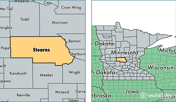
Stearns County is a county equivalent area found in Minnesota, USA. The county government of Stearns is found in the county seat of Saint Cloud.
With a total 3,599.96 sq. km of land and water area, Stearns County, Minnesota is the 490th largest county equivalent area in the United States. Home to 152,912 people, Stearns County has a total 62436 households earning 54551 on average per year.
Stearns County, Minnesota - Quick Facts
| FIPS Code | 27145 |
| Area Codes | 320 |
| Time Zone | CST |
| Major Cities | Saint Cloud (population: 58,791), Sartell (population: 17,770), Saint Joseph (population: 9,931), Cold Spring (population: 8,131), Sauk Centre (population: 7,797), Waite Park (population: 6,777), Melrose (population: 5,905), Paynesville (population: 5,873), Albany (population: 5,190), Avon (population: 5,152) |
| Land Area | 59,040 sq miles |
| Water Area | 1,343 sq miles |
| Household Income | $54,551 |
| Housing Units | 62,436 |
| Median Home Value | $167,600 |
| High School Grads | 91% of population |
| Holders of Bachelors Degrees | 25% of population |
| Retail Spending | $16,539 per capita |
| Food & Accomodation Sales | $251,180 per capita |
| Universities and Colleges | Saint Cloud Technical College, Saint Johns University |
This page was last updated on June 30, 2016.