Where is Todd County, Minnesota?
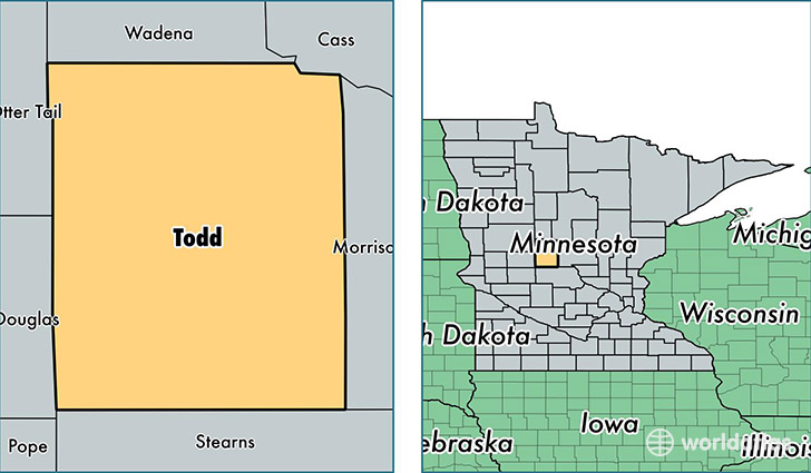
Todd County is a county equivalent area found in Minnesota, USA. The county government of Todd is found in the county seat of Long Prairie.
With a total 2,536.89 sq. km of land and water area, Todd County, Minnesota is the 797th largest county equivalent area in the United States. Home to 24,264 people, Todd County has a total 12907 households earning 45000 on average per year.
Todd County, Minnesota - Quick Facts
| FIPS Code | 27153 |
| Area Codes | 320,218 |
| Time Zone | CST |
| Major Cities | Long Prairie (population: 6,952), Staples (population: 5,320), Osakis (population: 3,920), Browerville (population: 2,903), Eagle Bend (population: 1,575), Grey Eagle (population: 1,492), Clarissa (population: 1,387), Bertha (population: 1,359), Burtrum (population: 1,223), Hewitt (population: 862) |
| Land Area | 9,368 sq miles |
| Water Area | 945 sq miles |
| Household Income | $45,000 |
| Housing Units | 12,907 |
| Median Home Value | $130,000 |
| High School Grads | 86% of population |
| Holders of Bachelors Degrees | 13% of population |
| Retail Spending | $6,664 per capita |
| Food & Accomodation Sales | $15,083 per capita |
This page was last updated on June 30, 2016.