Where is Rock County, Minnesota?
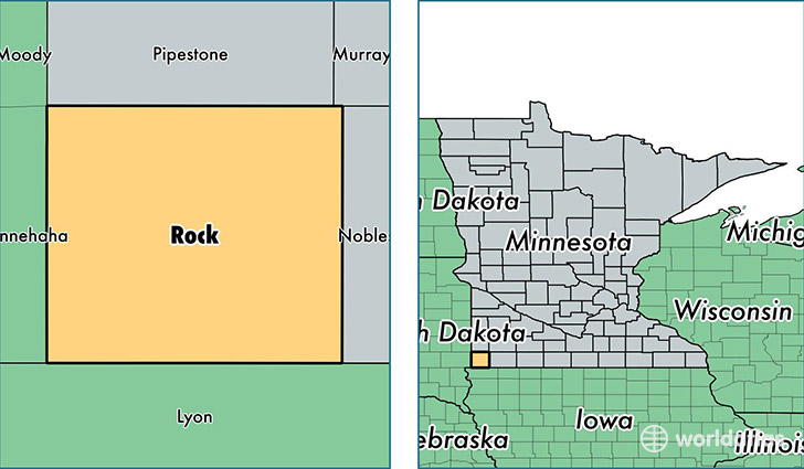
Rock County is a county equivalent area found in Minnesota, USA. The county government of Rock is found in the county seat of Luverne.
With a total 1,250.26 sq. km of land and water area, Rock County, Minnesota is the 2237th largest county equivalent area in the United States. Home to 9,553 people, Rock County has a total 4264 households earning 46623 on average per year.
Rock County, Minnesota - Quick Facts
| FIPS Code | 27133 |
| Area Codes | 507 |
| Time Zone | CST |
| Major Cities | Luverne (population: 5,982), Jasper (population: 1,117), Hills (population: 886), Beaver Creek (population: 619), Hardwick (population: 455), Magnolia (population: 429), Steen (population: 418), Kenneth (population: 190) |
| Land Area | 3,688 sq miles |
| Water Area | 483 sq miles |
| Household Income | $46,623 |
| Housing Units | 4,264 |
| Median Home Value | $119,300 |
| High School Grads | 90% of population |
| Holders of Bachelors Degrees | 18% of population |
| Retail Spending | $11,531 per capita |
This page was last updated on June 30, 2016.