Where is Hennepin County, Minnesota?
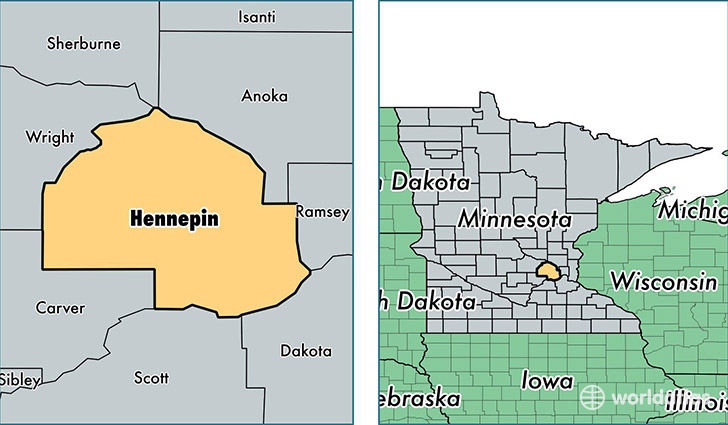
Hennepin County is a county equivalent area found in Minnesota, USA. The county government of Hennepin is found in the county seat of Minneapolis.
With a total 1,570.95 sq. km of land and water area, Hennepin County, Minnesota is the 1719th largest county equivalent area in the United States. Home to 1,212,064 people, Hennepin County has a total 517574 households earning 64403 on average per year.
Hennepin County, Minnesota offers the following attractions to visitors: Minneapolis Institute of Arts, Walker Art Center
Hennepin is the home to these professional sports teams: Twins (MLB), Vikings (NFL), Minnesota Timberwolves (NBA)
Hennepin County, Minnesota - Quick Facts
| FIPS Code | 27053 |
| Area Codes | 612,952,763,320 |
| Time Zone | CST |
| Major Cities | Minneapolis (population: 875,396), Eden Prairie (population: 62,492), Hopkins (population: 44,508), Maple Grove (population: 33,702), Osseo (population: 33,431), Champlin (population: 23,733), Minnetonka (population: 21,736), Excelsior (population: 18,018), Wayzata (population: 14,890), Mound (population: 14,753) |
| Land Area | 467,980 sq miles |
| Water Area | 554 sq miles |
| Household Income | $64,403 |
| Housing Units | 517,574 |
| Median Home Value | $230,900 |
| High School Grads | 92% of population |
| Holders of Bachelors Degrees | 46% of population |
| Retail Spending | $19,646 per capita |
| Food & Accomodation Sales | $3,279,149 per capita |
| Universities and Colleges | Minnesota School of Business |
This page was last updated on June 30, 2016.