Where is Ramsey County, Minnesota?
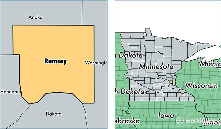
Ramsey County is a county equivalent area found in Minnesota, USA. The county government of Ramsey is found in the county seat of Saint Paul.
With a total 440.5 sq. km of land and water area, Ramsey County, Minnesota is the 3059th largest county equivalent area in the United States. Home to 532,655 people, Ramsey County has a total 217953 households earning 54247 on average per year.
Ramsey County, Minnesota offers the following attraction to visitors: Mississippi NRR
Ramsey is the home to this professional sports team: Minnesota Wild (NHL)
Ramsey County, Minnesota - Quick Facts
| FIPS Code | 27123 |
| Area Codes | 651 |
| Time Zone | CST |
| Major Cities | Saint Paul (population: 520,716) |
| Land Area | 205,659 sq miles |
| Water Area | 152 sq miles |
| Household Income | $54,247 |
| Housing Units | 217,953 |
| Median Home Value | $198,200 |
| High School Grads | 90% of population |
| Holders of Bachelors Degrees | 39% of population |
| Retail Spending | $12,328 per capita |
| Food & Accomodation Sales | $963,534 per capita |
| Universities and Colleges | Bethel University, Bethel Seminary-St. Paul, National American University-Roseville, University of St Thomas, United Theological Seminary of the Twin Cities, American Academy of Acupuncture and Oriental Medicine |
This page was last updated on June 30, 2016.