Where is Saint Clair County, Michigan?
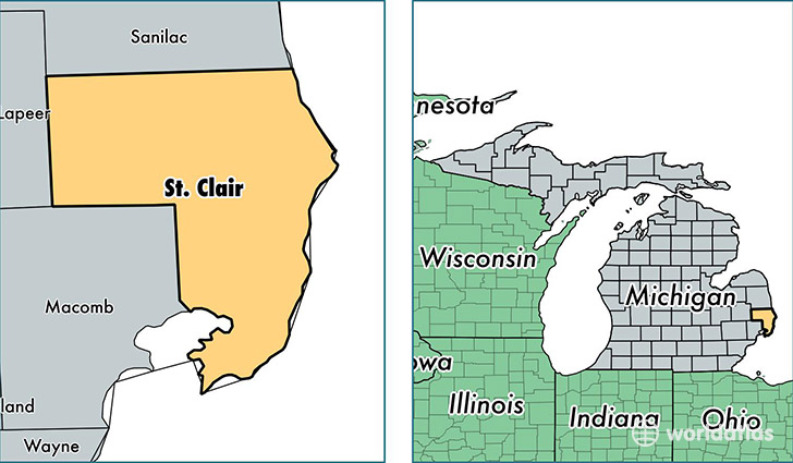
Saint Clair County is a county equivalent area found in Michigan, USA. The county government of Saint Clair is found in the county seat of Port Huron.
With a total 2,166.54 sq. km of land and water area, Saint Clair County, Michigan is the 1102nd largest county equivalent area in the United States. Home to 160,078 people, Saint Clair County has a total 71723 households earning 48066 on average per year.
Saint Clair County, Michigan - Quick Facts
| FIPS Code | 26147 |
| Area Codes | 810 |
| Time Zone | EST |
| Major Cities | Port Huron (population: 40,230), Fort Gratiot (population: 14,900), Saint Clair (population: 12,123), Algonac (population: 11,809), Marysville (population: 9,809), Smiths Creek (population: 9,218), Marine City (population: 7,692), East China (population: 7,231), North Street (population: 5,499), Yale (population: 5,415) |
| Land Area | 61,806 sq miles |
| Water Area | 721 sq miles |
| Household Income | $48,066 |
| Housing Units | 71,723 |
| Median Home Value | $121,600 |
| High School Grads | 89% of population |
| Holders of Bachelors Degrees | 16% of population |
| Retail Spending | $9,424 per capita |
| Food & Accomodation Sales | $178,285 per capita |
This page was last updated on June 30, 2016.