Where is Sanilac County, Michigan?
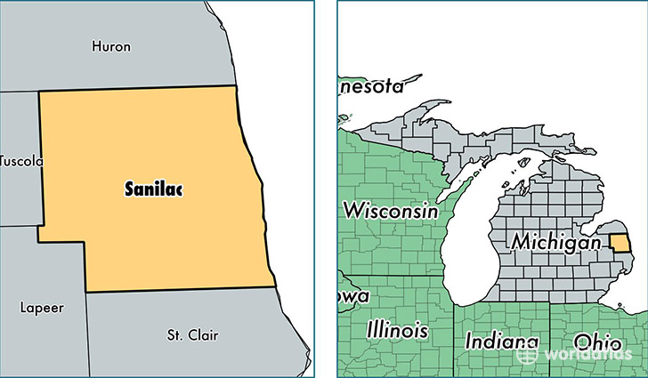
Sanilac County is a county equivalent area found in Michigan, USA. The county government of Sanilac is found in the county seat of Sandusky.
With a total 4,117.93 sq. km of land and water area, Sanilac County, Michigan is the 421st largest county equivalent area in the United States. Home to 41,587 people, Sanilac County has a total 22495 households earning 40478 on average per year.
Sanilac County, Michigan - Quick Facts
| FIPS Code | 26151 |
| Area Codes | 810,989 |
| Time Zone | EST |
| Major Cities | Croswell (population: 6,274), Sandusky (population: 5,632), Marlette (population: 5,049), Brown City (population: 4,934), Lexington (population: 4,686), Deckerville (population: 2,822), Carsonville (population: 2,686), Snover (population: 1,874), Peck (population: 1,547), Applegate (population: 1,410) |
| Land Area | 16,057 sq miles |
| Water Area | 963 sq miles |
| Household Income | $40,478 |
| Housing Units | 22,495 |
| Median Home Value | $96,500 |
| High School Grads | 87% of population |
| Holders of Bachelors Degrees | 11% of population |
| Retail Spending | $6,918 per capita |
| Food & Accomodation Sales | $30,192 per capita |
This page was last updated on June 30, 2016.