Where is Malden, MA?
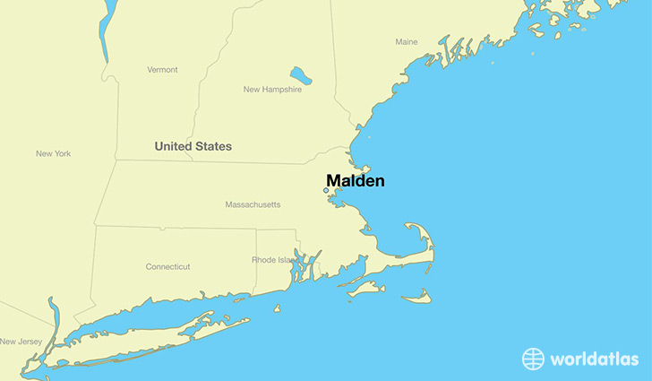
Malden is a city found in Massachusetts, The United States Of America. It is located 42.43 latitude and -71.07 longitude and it is situated at elevation 6 meters above sea level.
Malden has a population of 59,450 making it the 19th biggest city in Massachusetts. It operates on the EDT time zone, which means that it follows the same time zone as Boston.
Quick facts
| Country | The United States Of America |
| State | Massachusetts |
| Population | 59,450 |
| Elevation | 6 m over sea level |
| Time Zone | EDT |
| Longitude | -71.066160 |
| Latitude | 42.425100 |
Malden has a population of around 60612, of which 29321 (48%) are male and 31291 (51%) are female. The average age of the inhabitants of Malden is 37.17, meaning that the average person is above the national median age of 37. For every male, there are approximately 1.07 females, meaning that the population is relatively evenly distributed between males and female(s).
Of Malden's 60612 residents, around 57997 (95.70%) identify as having a single race. The majority of the population is white, which consists of 54.20% of the population. Of the remaining population, 8737 are black/African Americans (14.40%), 112 are native Americans (0.20%), 14820 are asians (24.00%), 20 are pacific islanders (0.00%), 1447 are other (2.40%).
The median income of households in Malden is $54896.00, meaning that most of the households are above the poverty threshold for families of three. Of the total population, 8.80% of households reported an annual income of less than $10,000.
Malden, MA Zipcodes
The city of Malden has 2 zipcodes recognized by the United States Census Bureau: 2148, 2155.