Where is Brockton, MA?
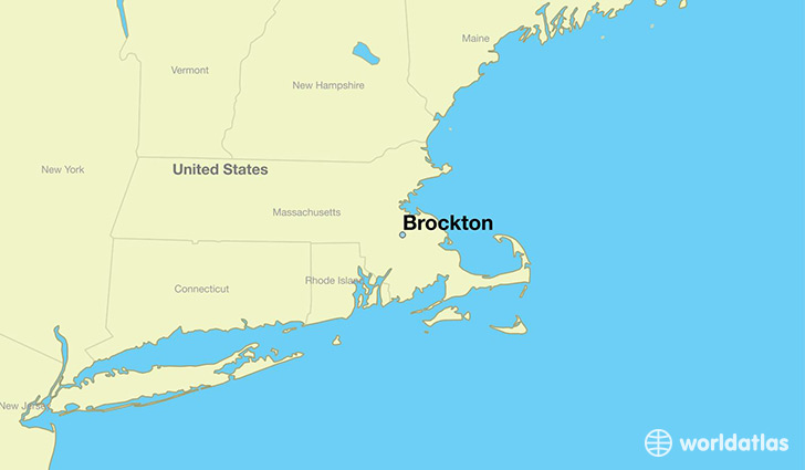
Brockton is a city found in Massachusetts, The United States Of America. It is located 42.08 latitude and -71.02 longitude and it is situated at elevation 37 meters above sea level.
Brockton has a population of 93,810 making it the 8th biggest city in Massachusetts. It operates on the EDT time zone, which means that it follows the same time zone as Boston.
Quick facts
| Country | The United States Of America |
| State | Massachusetts |
| Population | 93,810 |
| Elevation | 37 m over sea level |
| Time Zone | EDT |
| Longitude | -71.018380 |
| Latitude | 42.083430 |
Brockton has a population of around 94532, of which 45496 (48%) are male and 49036 (51%) are female. The average age of the inhabitants of Brockton is 36.66, meaning that the average person is below the national median age of 37. For every male, there are approximately 1.08 females, meaning that the population is relatively evenly distributed between males and female(s).
Of Brockton's 94532 residents, around 90976 (96.20%) identify as having a single race. Of the population, 43372 are white (45.90%), 38136 are black/African Americans (40.30%), 213 are native Americans (0.20%), 1919 are asians (2.00%), 43 are pacific islanders (0.00%), 7293 are other (7.70%).
The median income of households in Brockton is $47557.00, meaning that most of the households are above the poverty threshold for families of three. Of the total population, 8.70% of households reported an annual income of less than $10,000.
Brockton, MA Zipcodes
The city of Brockton has 3 zipcodes recognized by the United States Census Bureau: 2301, 2302, 2351.