Where is Bossier City, LA?
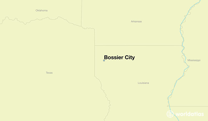
Bossier City is a city found in Louisiana, The United States Of America. It is located 32.52 latitude and -93.73 longitude and it is situated at elevation 53 meters above sea level.
Bossier City has a population of 61,315 making it the 9th biggest city in Louisiana. It operates on the CDT time zone, which means that it follows the same time zone as New Orleans.
Quick facts
| Country | The United States Of America |
| State | Louisiana |
| Population | 61,315 |
| Elevation | 53 m over sea level |
| Time Zone | CDT |
| Longitude | -93.732120 |
| Latitude | 32.515990 |
Bossier-city has a population of around 66093, of which 32105 (48%) are male and 33988 (51%) are female. The average age of the inhabitants of Bossier-city is 35.77, meaning that the average person is below the national median age of 37. For every male, there are approximately 1.06 females, meaning that the population is relatively evenly distributed between males and female(s).
Of Bossier-city's 66093 residents, around 64046 (96.90%) identify as having a single race. The majority of the population is white, which consists of 66.40% of the population. Of the remaining population, 17356 are black/African Americans (26.30%), 314 are native Americans (0.50%), 1238 are asians (1.90%), 136 are pacific islanders (0.20%), 1095 are other (1.70%).
The median income of households in Bossier-city is $47342.00, meaning that most of the households are above the poverty threshold for families of three. Of the total population, 7.80% of households reported an annual income of less than $10,000.
Bossier City, LA Zipcodes
The city of Bossier City has 5 zipcodes recognized by the United States Census Bureau: 71006, 71037, 71110, 71111, 71112.