Where is Shreveport, LA?
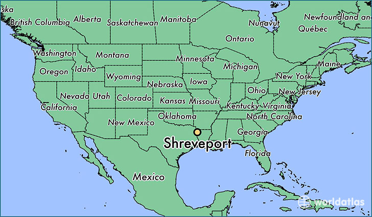
Shreveport is a city found in Louisiana, The United States Of America. It is located 32.53 latitude and -93.75 longitude and it is situated at elevation 50 meters above sea level.
Shreveport has a population of 199,311 making it the 3rd biggest city in Louisiana. It operates on the CDT time zone, which means that it follows the same time zone as New Orleans.
Quick facts
| Country | The United States Of America |
| State | Louisiana |
| Population | 199,311 |
| Elevation | 50 m over sea level |
| Time Zone | CDT |
| Longitude | -93.750180 |
| Latitude | 32.525150 |
Shreveport has a population of around 200015, of which 93954 (46%) are male and 106061 (53%) are female. The average age of the inhabitants of Shreveport is 37.08, meaning that the average person is above the national median age of 37. For every male, there are approximately 1.13 females, meaning that the population is relatively evenly distributed between males and female(s).
Of Shreveport's 200015 residents, around 197089 (98.50%) identify as having a single race. The majority of the population is black/African American, which consists of 55.70% of the population. Of the remaining population, 80347 are white (40.20%), 701 are native Americans (0.40%), 2794 are asians (1.40%), 96 are pacific islanders (0.00%), 1765 are other (0.90%).
The median income of households in Shreveport is $38583.00, meaning that most of the households are above the poverty threshold for families of three. Of the total population, 12.30% of households reported an annual income of less than $10,000.
Shreveport, LA Zipcodes
The city of Shreveport has 16 zipcodes recognized by the United States Census Bureau: 71033, 71047, 71101, 71103, 71104, 71105, 71106, 71107, 71108, 71109, 71111, 71112, 71115, 71118, 71119, 71129.