Where is Natchitoches Parish, Louisiana?
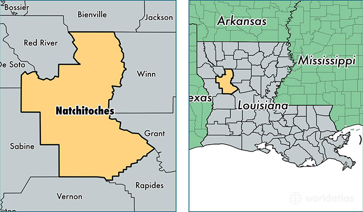
Natchitoches Parish is a county equivalent area found in Louisiana, USA. The parish government of Natchitoches is found in the parish seat of Natchitoches.
With a total 3,364.38 sq. km of land and water area, Natchitoches Parish, Louisiana is the 526th largest county equivalent area in the United States. Home to 39,166 people, Natchitoches Parish has a total 18633 households earning 33953 on average per year.
Natchitoches Parish, Louisiana offers the following attraction to visitors: Cane River Creole NHP
Natchitoches Parish, Louisiana - Quick Facts
| FIPS Code | 22069 |
| Area Codes | 318,337 |
| Time Zone | CST |
| Major Cities | Natchitoches (population: 27,711), Campti (population: 2,865), Robeline (population: 2,786), Saline (population: 1,812), Natchez (population: 1,218), Marthaville (population: 1,068), Goldonna (population: 1,053), Provencal (population: 865), Cloutierville (population: 839), Clarence (population: 237) |
| Land Area | 15,122 sq miles |
| Water Area | 1,252 sq miles |
| Household Income | $33,953 |
| Housing Units | 18,633 |
| Median Home Value | $97,200 |
| High School Grads | 82% of population |
| Holders of Bachelors Degrees | 22% of population |
| Retail Spending | $10,627 per capita |
| Food & Accomodation Sales | $52,432 per capita |
| Universities and Colleges | Northwestern State University of Louisiana |
This page was last updated on June 30, 2016.