Where is Bowling Green, KY?
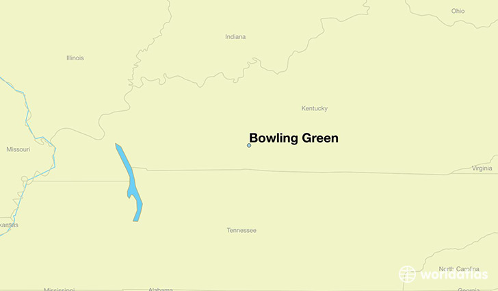
Bowling Green is a city found in Kentucky, The United States Of America. It is located 36.99 latitude and -86.44 longitude and it is situated at elevation 163 meters above sea level.
Bowling Green has a population of 58,067 making it the biggest city in Kentucky. It operates on the CDT time zone.
Quick facts
| Country | The United States Of America |
| State | Kentucky |
| Population | 58,067 |
| Elevation | 163 m over sea level |
| Time Zone | CDT |
| Longitude | -86.443600 |
| Latitude | 36.990320 |
Bowling-green has a population of around 61617, of which 30299 (49%) are male and 31318 (50%) are female. The average age of the inhabitants of Bowling-green is 33.06, meaning that the average person is below the national median age of 37. For every male, there are approximately 1.03 females, meaning that the population is relatively evenly distributed between males and female(s).
Of Bowling-green's 61617 residents, around 60103 (97.50%) identify as having a single race. The majority of the population is white, which consists of 73.70% of the population. Of the remaining population, 8764 are black/African Americans (14.20%), 83 are native Americans (0.10%), 2796 are asians (4.50%), 180 are pacific islanders (0.30%), 2898 are other (4.70%).
The median income of households in Bowling-green is $35604.00, meaning that most of the households are above the poverty threshold for families of three. Of the total population, 13.90% of households reported an annual income of less than $10,000.
Bowling Green, KY Zipcodes
The city of Bowling Green has 5 zipcodes recognized by the United States Census Bureau: 42101, 42102, 42103, 42104, 42122.