Where is Lexington-Fayette, KY?
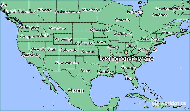
Lexington-Fayette is a city found in Kentucky, The United States Of America. It is located 38.05 latitude and -84.46 longitude and it is situated at elevation 304 meters above sea level.
Lexington-Fayette has a population of 295,803 making it the biggest city in Kentucky. It operates on the EDT time zone.
Quick facts
| Country | The United States Of America |
| State | Kentucky |
| Population | 295,803 |
| Elevation | 304 m over sea level |
| Time Zone | EDT |
| Longitude | -84.458550 |
| Latitude | 38.049800 |
Lexington-fayette has a population of around 308306, of which 151459 (49%) are male and 156847 (50%) are female. The average age of the inhabitants of Lexington-fayette is 35.95, meaning that the average person is below the national median age of 37. For every male, there are approximately 1.04 females, meaning that the population is relatively evenly distributed between males and female(s).
Of Lexington-fayette's 308306 residents, around 299410 (97.10%) identify as having a single race. The majority of the population is white, which consists of 76.00% of the population. Of the remaining population, 44810 are black/African Americans (14.50%), 920 are native Americans (0.30%), 10875 are asians (3.50%), 139 are pacific islanders (0.00%), 8234 are other (2.70%).
The median income of households in Lexington-fayette is $49778.00, meaning that most of the households are above the poverty threshold for families of three. Of the total population, 9.20% of households reported an annual income of less than $10,000.
Lexington-Fayette, KY Zipcodes
The city of Lexington-Fayette has 16 zipcodes recognized by the United States Census Bureau: 40361, 40502, 40503, 40504, 40505, 40506, 40507, 40508, 40509, 40510, 40511, 40513, 40514, 40515, 40516, 40517.