Where is Ironville, KY?
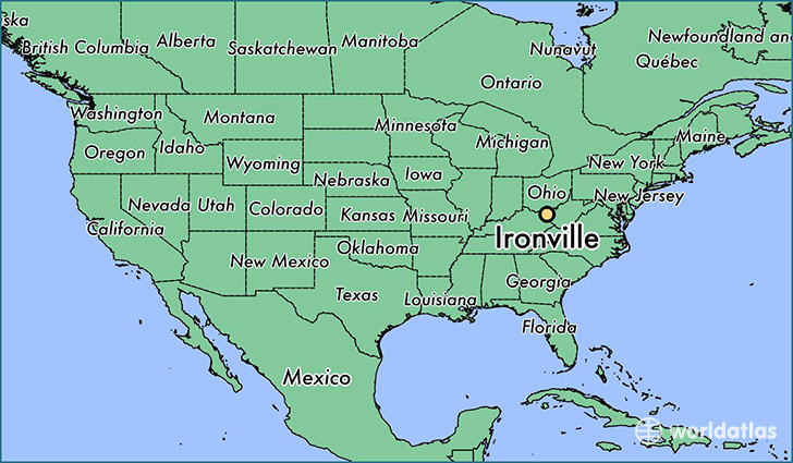
Ironville is a city found in Kentucky, The United States Of America. It is located 38.46 latitude and -82.69 longitude and it is situated at elevation 221 meters above sea level.
Ironville has a population of 288,649 making it the 2nd biggest city in Kentucky. It operates on the EDT time zone, which means that it follows the same time zone as Lexington-Fayette.
Quick facts
| Country | The United States Of America |
| State | Kentucky |
| Population | 288,649 |
| Elevation | 221 m over sea level |
| Time Zone | EDT |
| Longitude | -82.692380 |
| Latitude | 38.456470 |
Ironville has a population of around 435, of which 220 (50%) are male and 215 (49%) are female. The average age of the inhabitants of Ironville is 45.12, meaning that the average person is above the national median age of 37. For every male, there are approximately 0.98 females, meaning that the population is relatively evenly distributed between males and female(s).
Of Ironville's 435 residents, around 435 (100.00%) identify as having a single race. The majority of the population is white, which consists of 100.00% of the population. Of the remaining population.
The median income of households in Ironville is $0.00, meaning that most of the households have crossed the poverty threshold for families of three. Of the total population, 8.40% of households reported an annual income of less than $10,000.