Where is Wolfe County, Kentucky?
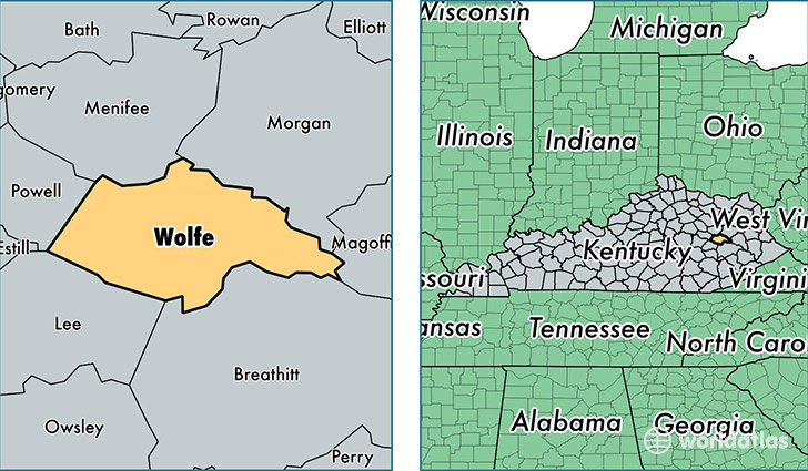
Wolfe County is a county equivalent area found in Kentucky, USA. The county government of Wolfe is found in the county seat of Campton.
With a total 576.92 sq. km of land and water area, Wolfe County, Kentucky is the 2988th largest county equivalent area in the United States. Home to 7,214 people, Wolfe County has a total 3623 households earning 22574 on average per year.
Wolfe County, Kentucky - Quick Facts
| FIPS Code | 21237 |
| Area Codes | 606 |
| Time Zone | EST |
| Major Cities | Campton (population: 6,002), Pine Ridge (population: 487), Rogers (population: 487) |
| Land Area | 2,785 sq miles |
| Water Area | 222 sq miles |
| Household Income | $22,574 |
| Housing Units | 3,623 |
| Median Home Value | $52,800 |
| High School Grads | 66% of population |
| Holders of Bachelors Degrees | 12% of population |
| Retail Spending | $6,355 per capita |
| Food & Accomodation Sales | $558 per capita |
This page was last updated on June 30, 2016.