Where is Powell County, Kentucky?
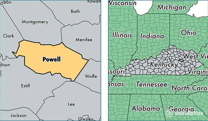
Powell County is a county equivalent area found in Kentucky, USA. The county government of Powell is found in the county seat of Stanton.
With a total 466.51 sq. km of land and water area, Powell County, Kentucky is the 3048th largest county equivalent area in the United States. Home to 12,434 people, Powell County has a total 5554 households earning 26839 on average per year.
Powell County, Kentucky - Quick Facts
| FIPS Code | 21197 |
| Area Codes | 606 |
| Time Zone | EST |
| Major Cities | Stanton (population: 6,543), Clay City (population: 5,837), Slade (population: 51) |
| Land Area | 4,801 sq miles |
| Water Area | 179 sq miles |
| Household Income | $26,839 |
| Housing Units | 5,554 |
| Median Home Value | $77,800 |
| High School Grads | 71% of population |
| Holders of Bachelors Degrees | 12% of population |
| Retail Spending | $6,967 per capita |
| Food & Accomodation Sales | $9,333 per capita |
This page was last updated on June 30, 2016.