Where is Breathitt County, Kentucky?
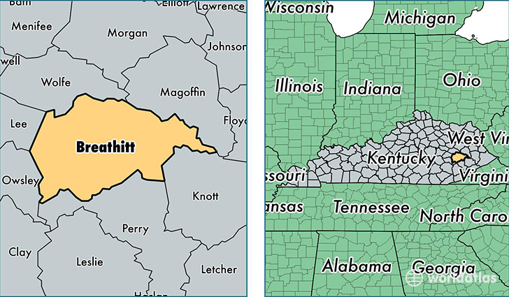
Breathitt County is a county equivalent area found in Kentucky, USA. The county government of Breathitt is found in the county seat of Jackson.
With a total 1,282.74 sq. km of land and water area, Breathitt County, Kentucky is the 2201st largest county equivalent area in the United States. Home to 13,409 people, Breathitt County has a total 6159 households earning 24045 on average per year.
Breathitt County, Kentucky - Quick Facts
| FIPS Code | 21025 |
| Area Codes | 606 |
| Time Zone | EST |
| Major Cities | Jackson (population: 10,764), Lost Creek (population: 1,197), Vancleve (population: 461), Clayhole (population: 186), Whick (population: 51), Bays (population: 49), Rousseau (population: 19) |
| Land Area | 5,177 sq miles |
| Water Area | 492 sq miles |
| Household Income | $24,045 |
| Housing Units | 6,159 |
| Median Home Value | $47,400 |
| High School Grads | 64% of population |
| Holders of Bachelors Degrees | 10% of population |
| Retail Spending | $6,652 per capita |
| Food & Accomodation Sales | $8,742 per capita |
| Universities and Colleges | Kentucky Mountain Bible College |
This page was last updated on June 30, 2016.