Where is Boyle County, Kentucky?
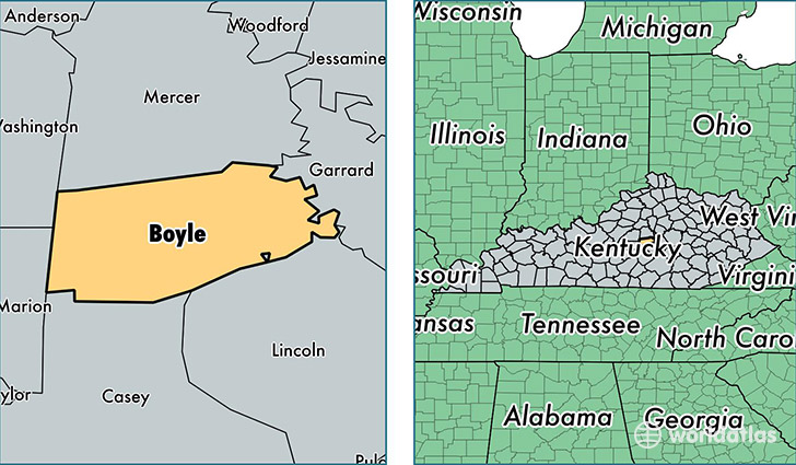
Boyle County is a county equivalent area found in Kentucky, USA. The county government of Boyle is found in the county seat of Danville.
With a total 473.73 sq. km of land and water area, Boyle County, Kentucky is the 3046th largest county equivalent area in the United States. Home to 29,706 people, Boyle County has a total 12359 households earning 41473 on average per year.
Boyle County, Kentucky - Quick Facts
| FIPS Code | 21021 |
| Area Codes | 859 |
| Time Zone | EST |
| Major Cities | Danville (population: 24,457), Junction City (population: 2,106), Perryville (population: 1,820), Parksville (population: 1,122) |
| Land Area | 11,470 sq miles |
| Water Area | 180 sq miles |
| Household Income | $41,473 |
| Housing Units | 12,359 |
| Median Home Value | $130,700 |
| High School Grads | 85% of population |
| Holders of Bachelors Degrees | 23% of population |
| Retail Spending | $14,875 per capita |
| Food & Accomodation Sales | $57,725 per capita |
| Universities and Colleges | Centre College |
This page was last updated on June 30, 2016.