Where is Rockcastle County, Kentucky?
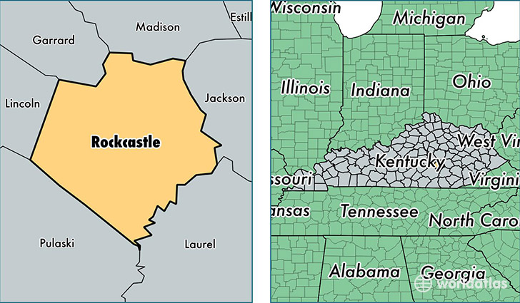
Rockcastle County is a county equivalent area found in Kentucky, USA. The county government of Rockcastle is found in the county seat of Mount Vernon.
With a total 823.87 sq. km of land and water area, Rockcastle County, Kentucky is the 2808th largest county equivalent area in the United States. Home to 16,826 people, Rockcastle County has a total 7638 households earning 30674 on average per year.
Rockcastle County, Kentucky - Quick Facts
| FIPS Code | 21203 |
| Area Codes | 606 |
| Time Zone | EST |
| Major Cities | Mount Vernon (population: 9,272), Brodhead (population: 3,831), Orlando (population: 1,125), Livingston (population: 993) |
| Land Area | 6,497 sq miles |
| Water Area | 317 sq miles |
| Household Income | $30,674 |
| Housing Units | 7,638 |
| Median Home Value | $74,800 |
| High School Grads | 75% of population |
| Holders of Bachelors Degrees | 11% of population |
| Retail Spending | $4,323 per capita |
| Food & Accomodation Sales | $11,277 per capita |
This page was last updated on June 30, 2016.