Where is Calloway County, Kentucky?
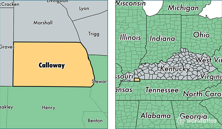
Calloway County is a county equivalent area found in Kentucky, USA. The county government of Calloway is found in the county seat of Murray.
With a total 1,063.7 sq. km of land and water area, Calloway County, Kentucky is the 2539th largest county equivalent area in the United States. Home to 38,282 people, Calloway County has a total 18091 households earning 39677 on average per year.
Calloway County, Kentucky - Quick Facts
| FIPS Code | 21035 |
| Area Codes | 270 |
| Time Zone | CST |
| Major Cities | Murray (population: 30,024), Almo (population: 2,359), Hazel (population: 1,498), New Concord (population: 1,228), Dexter (population: 1,181), Kirksey (population: 995) |
| Land Area | 14,781 sq miles |
| Water Area | 385 sq miles |
| Household Income | $39,677 |
| Housing Units | 18,091 |
| Median Home Value | $114,800 |
| High School Grads | 86% of population |
| Holders of Bachelors Degrees | 28% of population |
| Retail Spending | $12,578 per capita |
| Food & Accomodation Sales | $52,463 per capita |
| Universities and Colleges | Murray State University |
This page was last updated on June 30, 2016.