Where is Graves County, Kentucky?
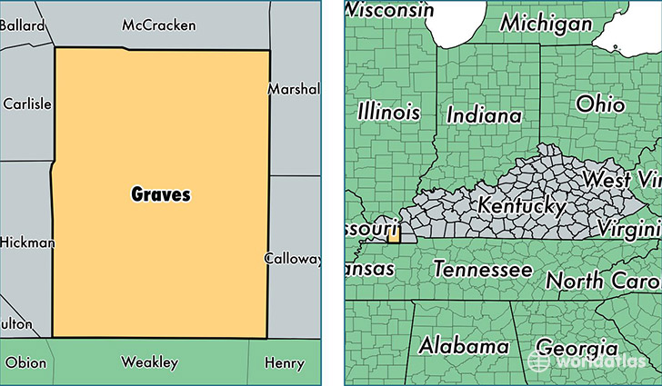
Graves County is a county equivalent area found in Kentucky, USA. The county government of Graves is found in the county seat of Mayfield.
With a total 1,442.07 sq. km of land and water area, Graves County, Kentucky is the 1983rd largest county equivalent area in the United States. Home to 37,618 people, Graves County has a total 16683 households earning 38394 on average per year.
Graves County, Kentucky - Quick Facts
| FIPS Code | 21083 |
| Area Codes | 270 |
| Time Zone | CST |
| Major Cities | Mayfield (population: 23,444), Hickory (population: 2,872), Wingo (population: 2,676), Boaz (population: 2,307), Symsonia (population: 1,860), Fancy Farm (population: 1,752), Sedalia (population: 1,442), Melber (population: 1,110), Farmington (population: 1,094), Water Valley (population: 919) |
| Land Area | 14,524 sq miles |
| Water Area | 552 sq miles |
| Household Income | $38,394 |
| Housing Units | 16,683 |
| Median Home Value | $85,900 |
| High School Grads | 81% of population |
| Holders of Bachelors Degrees | 17% of population |
| Retail Spending | $9,119 per capita |
This page was last updated on June 30, 2016.