Where is Carmel, IN?
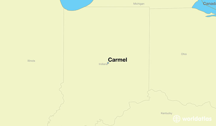
Carmel is a city found in Indiana, The United States Of America. It is located 39.98 latitude and -86.12 longitude and it is situated at elevation 262 meters above sea level.
Carmel has a population of 79,191 making it the 8th biggest city in Indiana. It operates on the CDT time zone, which means that it follows the same time zone as Indianapolis.
Quick facts
| Country | The United States Of America |
| State | Indiana |
| Population | 79,191 |
| Elevation | 262 m over sea level |
| Time Zone | CDT |
| Longitude | -86.118040 |
| Latitude | 39.978370 |
Carmel has a population of around 85367, of which 40865 (47%) are male and 44502 (52%) are female. The average age of the inhabitants of Carmel is 37.16, meaning that the average person is above the national median age of 37. For every male, there are approximately 1.09 females, meaning that the population is relatively evenly distributed between males and female(s).
Of Carmel's 85367 residents, around 83289 (97.60%) identify as having a single race. The majority of the population is white, which consists of 84.10% of the population. Of the remaining population, 2132 are black/African Americans (2.50%), 112 are native Americans (0.10%), 8487 are asians (9.90%), 806 are other (0.90%).
The median income of households in Carmel is $106433.00, meaning that most of the households are above the poverty threshold for families of three. Of the total population, 2.00% of households reported an annual income of less than $10,000.
Carmel, IN Zipcodes
The city of Carmel has 9 zipcodes recognized by the United States Census Bureau: 46032, 46033, 46062, 46074, 46077, 46240, 46260, 46280, 46290.