Where is Evansville, IN?
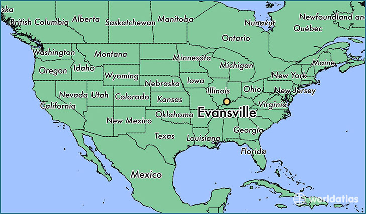
Evansville is a city found in Indiana, The United States Of America. It is located 37.97 latitude and -87.56 longitude and it is situated at elevation 118 meters above sea level.
Evansville has a population of 117,429 making it the 3rd biggest city in Indiana. It operates on the CDT time zone, which means that it follows the same time zone as Indianapolis.
Quick facts
| Country | The United States Of America |
| State | Indiana |
| Population | 117,429 |
| Elevation | 118 m over sea level |
| Time Zone | CDT |
| Longitude | -87.555850 |
| Latitude | 37.974760 |
Evansville has a population of around 120212, of which 57035 (47%) are male and 63177 (52%) are female. The average age of the inhabitants of Evansville is 38.37, meaning that the average person is above the national median age of 37. For every male, there are approximately 1.11 females, meaning that the population is relatively evenly distributed between males and female(s).
Of Evansville's 120212 residents, around 116483 (96.90%) identify as having a single race. The majority of the population is white, which consists of 82.50% of the population. Of the remaining population, 14790 are black/African Americans (12.30%), 287 are native Americans (0.20%), 758 are asians (0.60%), 155 are pacific islanders (0.10%), 1275 are other (1.10%).
The median income of households in Evansville is $35785.00, meaning that most of the households are above the poverty threshold for families of three. Of the total population, 10.70% of households reported an annual income of less than $10,000.
Evansville, IN Zipcodes
The city of Evansville has 9 zipcodes recognized by the United States Census Bureau: 47708, 47710, 47711, 47712, 47713, 47714, 47715, 47720, 47725.