Where is White County, Indiana?
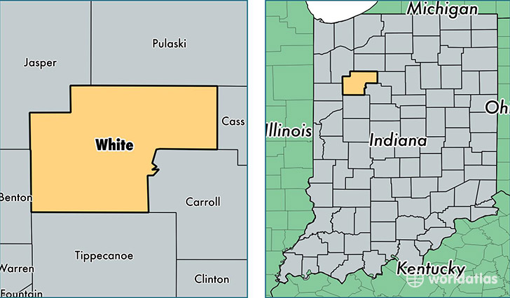
White County is a county equivalent area found in Indiana, USA. The county government of White is found in the county seat of Monticello.
With a total 1,317.47 sq. km of land and water area, White County, Indiana is the 2141st largest county equivalent area in the United States. Home to 24,453 people, White County has a total 12916 households earning 51444 on average per year.
White County, Indiana - Quick Facts
| FIPS Code | 18181 |
| Area Codes | 765,574,219 |
| Time Zone | EST |
| Major Cities | Monticello (population: 14,883), Brookston (population: 3,465), Monon (population: 2,797), Wolcott (population: 1,727), Burnettsville (population: 1,089), Reynolds (population: 1,086), Idaville (population: 904), Chalmers (population: 767), Buffalo (population: 201) |
| Land Area | 9,441 sq miles |
| Water Area | 505 sq miles |
| Household Income | $51,444 |
| Housing Units | 12,916 |
| Median Home Value | $109,800 |
| High School Grads | 89% of population |
| Holders of Bachelors Degrees | 15% of population |
| Retail Spending | $11,911 per capita |
| Food & Accomodation Sales | $24,469 per capita |
This page was last updated on June 30, 2016.