Where is Union County, Indiana?
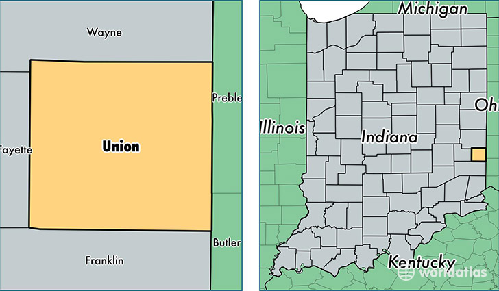
Union County is a county equivalent area found in Indiana, USA. The county government of Union is found in the county seat of Liberty.
With a total 427.81 sq. km of land and water area, Union County, Indiana is the 3062nd largest county equivalent area in the United States. Home to 7,246 people, Union County has a total 3212 households earning 44161 on average per year.
Union County, Indiana - Quick Facts
| FIPS Code | 18161 |
| Area Codes | 765 |
| Time Zone | EST |
| Major Cities | Liberty (population: 5,759), Brownsville (population: 655) |
| Land Area | 2,798 sq miles |
| Water Area | 161 sq miles |
| Household Income | $44,161 |
| Housing Units | 3,212 |
| Median Home Value | $103,200 |
| High School Grads | 85% of population |
| Holders of Bachelors Degrees | 18% of population |
| Retail Spending | $4,366 per capita |
| Food & Accomodation Sales | $3,006 per capita |
This page was last updated on June 30, 2016.