Where is Orange County, Indiana?
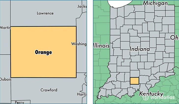
Orange County is a county equivalent area found in Indiana, USA. The county government of Orange is found in the county seat of Paoli.
With a total 1,057.21 sq. km of land and water area, Orange County, Indiana is the 2558th largest county equivalent area in the United States. Home to 19,626 people, Orange County has a total 9059 households earning 38826 on average per year.
Orange County, Indiana - Quick Facts
| FIPS Code | 18117 |
| Area Codes | 812 |
| Time Zone | EST |
| Major Cities | Paoli (population: 7,629), Orleans (population: 5,321), French Lick (population: 4,507), Marengo (population: 2,655), West Baden Springs (population: 1,735), Hardinsburg (population: 1,640) |
| Land Area | 7,578 sq miles |
| Water Area | 398 sq miles |
| Household Income | $38,826 |
| Housing Units | 9,059 |
| Median Home Value | $88,100 |
| High School Grads | 80% of population |
| Holders of Bachelors Degrees | 13% of population |
| Retail Spending | $7,812 per capita |
This page was last updated on June 30, 2016.