Where is Dubois County, Indiana?
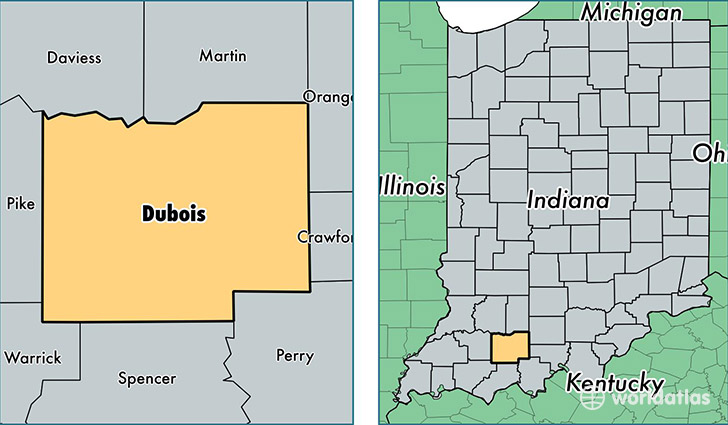
Dubois County is a county equivalent area found in Indiana, USA. The county government of Dubois is found in the county seat of Jasper.
With a total 1,127.51 sq. km of land and water area, Dubois County, Indiana is the 2416th largest county equivalent area in the United States. Home to 42,345 people, Dubois County has a total 17474 households earning 54780 on average per year.
Dubois County, Indiana - Quick Facts
| FIPS Code | 18037 |
| Area Codes | 812 |
| Time Zone | EST |
| Major Cities | Jasper (population: 21,100), Huntingburg (population: 9,662), Ferdinand (population: 4,641), Dubois (population: 1,905), Birdseye (population: 1,846), Holland (population: 1,229), Saint Anthony (population: 980), Celestine (population: 931), Schnellville (population: 290), Ireland (population: 28) |
| Land Area | 16,349 sq miles |
| Water Area | 427 sq miles |
| Household Income | $54,780 |
| Housing Units | 17,474 |
| Median Home Value | $133,200 |
| High School Grads | 87% of population |
| Holders of Bachelors Degrees | 19% of population |
| Retail Spending | $18,509 per capita |
| Food & Accomodation Sales | $58,781 per capita |
This page was last updated on June 30, 2016.