Where is Marion County, Indiana?
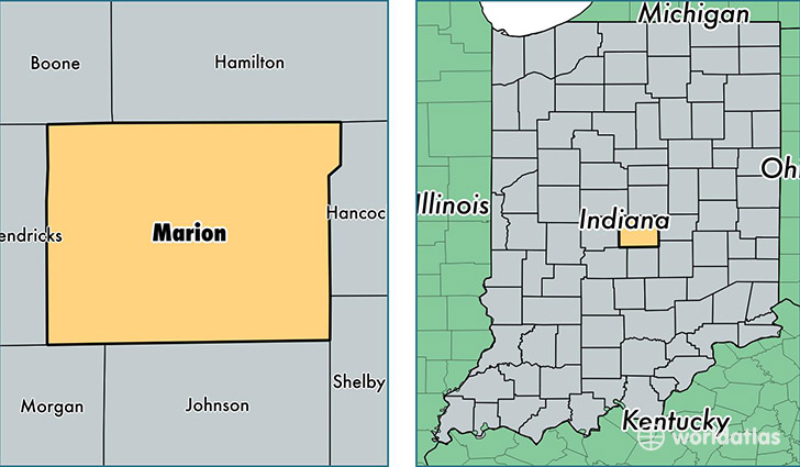
Marion County is a county equivalent area found in Indiana, USA. The county government of Marion is found in the county seat of Indianapolis.
With a total 1,043.79 sq. km of land and water area, Marion County, Indiana is the 2588th largest county equivalent area in the United States. Home to 934,243 people, Marion County has a total 417918 households earning 42334 on average per year.
Marion County, Indiana offers the following attractions to visitors: The Children's Museum of Indianapolis, Benjamin Harrison Tomb
Marion is the home to these professional sports teams: Colts (NFL), Indiana Pacers (NBA)
Marion County, Indiana - Quick Facts
| FIPS Code | 18097 |
| Area Codes | 317 |
| Time Zone | EST |
| Major Cities | Indianapolis (population: 919,062), Beech Grove (population: 12,994), West Newton (population: 83) |
| Land Area | 360,713 sq miles |
| Water Area | 397 sq miles |
| Household Income | $42,334 |
| Housing Units | 417,918 |
| Median Home Value | $118,000 |
| High School Grads | 85% of population |
| Holders of Bachelors Degrees | 27% of population |
| Retail Spending | $14,748 per capita |
| Food & Accomodation Sales | $2,248,380 per capita |
| Universities and Colleges | Hair Fashions By Kaye Beauty College, Ivy Tech Community College-Central Indiana, Indiana Business College-Indianapolis, Martin University, Ivy Tech Community College-Central Office, University of Phoenix-Indianapolis Campus, Regency Beauty Institute-Indianapolis |
This page was last updated on June 30, 2016.