Where is Johnson County, Indiana?
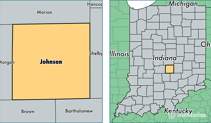
Johnson County is a county equivalent area found in Indiana, USA. The county government of Johnson is found in the county seat of Franklin.
With a total 833.44 sq. km of land and water area, Johnson County, Indiana is the 2803rd largest county equivalent area in the United States. Home to 147,538 people, Johnson County has a total 58016 households earning 61231 on average per year.
Johnson County, Indiana - Quick Facts
| FIPS Code | 18081 |
| Area Codes | 317,812 |
| Time Zone | EST |
| Major Cities | Greenwood (population: 80,967), Franklin (population: 31,816), Whiteland (population: 12,105), Edinburgh (population: 8,301), Bargersville (population: 6,076), Trafalgar (population: 4,930), Needham (population: 464) |
| Land Area | 56,965 sq miles |
| Water Area | 320 sq miles |
| Household Income | $61,231 |
| Housing Units | 58,016 |
| Median Home Value | $144,300 |
| High School Grads | 91% of population |
| Holders of Bachelors Degrees | 27% of population |
| Retail Spending | $15,169 per capita |
| Food & Accomodation Sales | $208,425 per capita |
This page was last updated on June 30, 2016.