Where is Putnam County, Illinois?
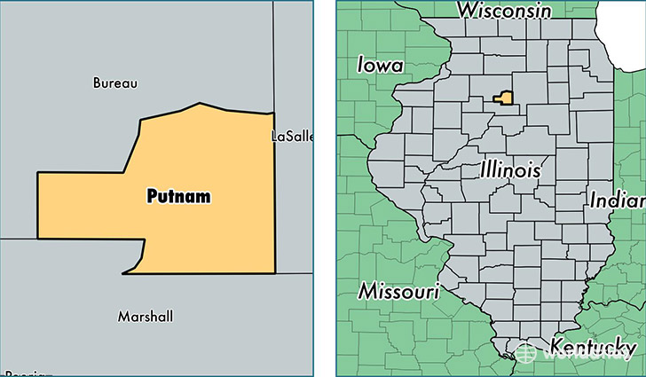
Putnam County is a county equivalent area found in Illinois, USA. The county government of Putnam is found in the county seat of Hennepin.
With a total 446.06 sq. km of land and water area, Putnam County, Illinois is the 3057th largest county equivalent area in the United States. Home to 5,814 people, Putnam County has a total 3091 households earning 54196 on average per year.
Putnam County, Illinois - Quick Facts
| FIPS Code | 17155 |
| Area Codes | 815 |
| Time Zone | CST |
| Major Cities | Granville (population: 2,403), Hennepin (population: 1,210), Putnam (population: 738), Magnolia (population: 614), McNabb (population: 521), Mark (population: 286), Standard (population: 215) |
| Land Area | 2,245 sq miles |
| Water Area | 160 sq miles |
| Household Income | $54,196 |
| Housing Units | 3,091 |
| Median Home Value | $126,500 |
| High School Grads | 89% of population |
| Holders of Bachelors Degrees | 14% of population |
| Retail Spending | $3,619 per capita |
| Food & Accomodation Sales | $2,266 per capita |
This page was last updated on June 30, 2016.