Where is Peoria County, Illinois?
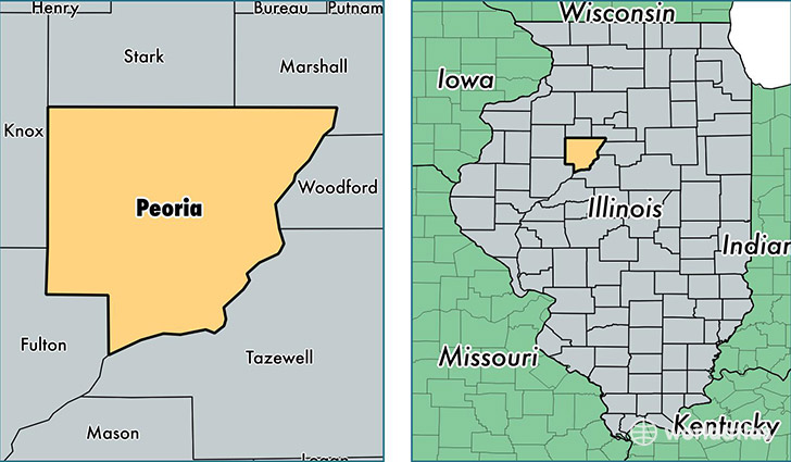
Peoria County is a county equivalent area found in Illinois, USA. The county government of Peoria is found in the county seat of Peoria.
With a total 1,633.2 sq. km of land and water area, Peoria County, Illinois is the 1641st largest county equivalent area in the United States. Home to 187,319 people, Peoria County has a total 83303 households earning 50712 on average per year.
Peoria County, Illinois - Quick Facts
| FIPS Code | 17143 |
| Area Codes | 309 |
| Time Zone | CST |
| Major Cities | Peoria (population: 136,591), Chillicothe (population: 11,248), Dunlap (population: 9,057), Peoria Heights (population: 6,140), Mapleton (population: 3,794), Princeville (population: 3,344), Brimfield (population: 3,272), Hanna City (population: 2,930), Elmwood (population: 2,891), Edwards (population: 2,678) |
| Land Area | 72,324 sq miles |
| Water Area | 619 sq miles |
| Household Income | $50,712 |
| Housing Units | 83,303 |
| Median Home Value | $123,200 |
| High School Grads | 90% of population |
| Holders of Bachelors Degrees | 29% of population |
| Retail Spending | $13,250 per capita |
| Food & Accomodation Sales | $343,149 per capita |
This page was last updated on June 30, 2016.